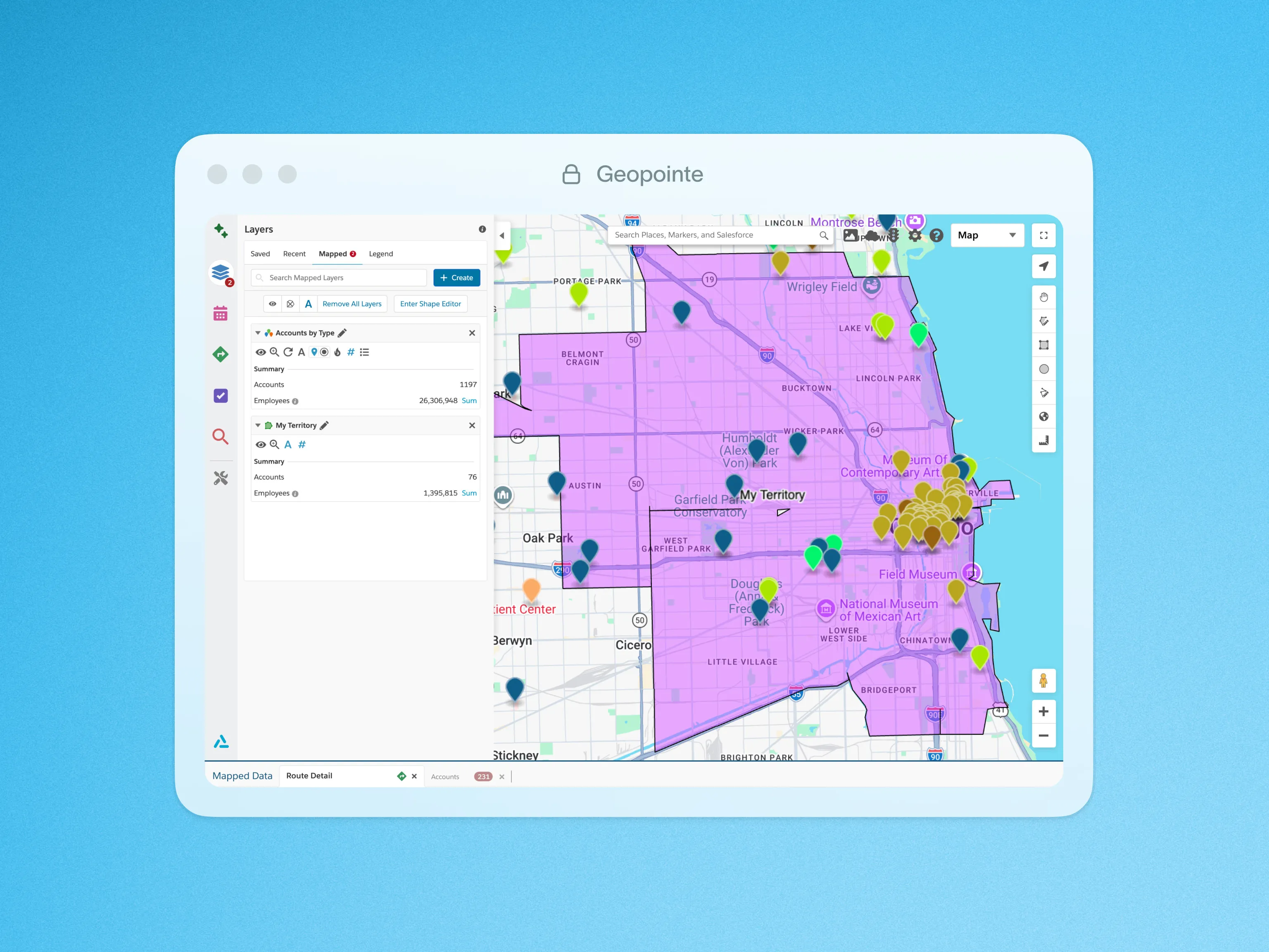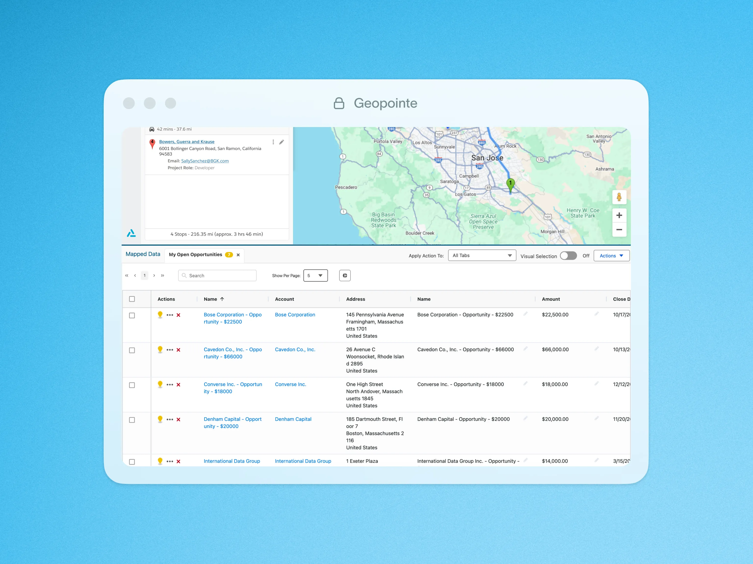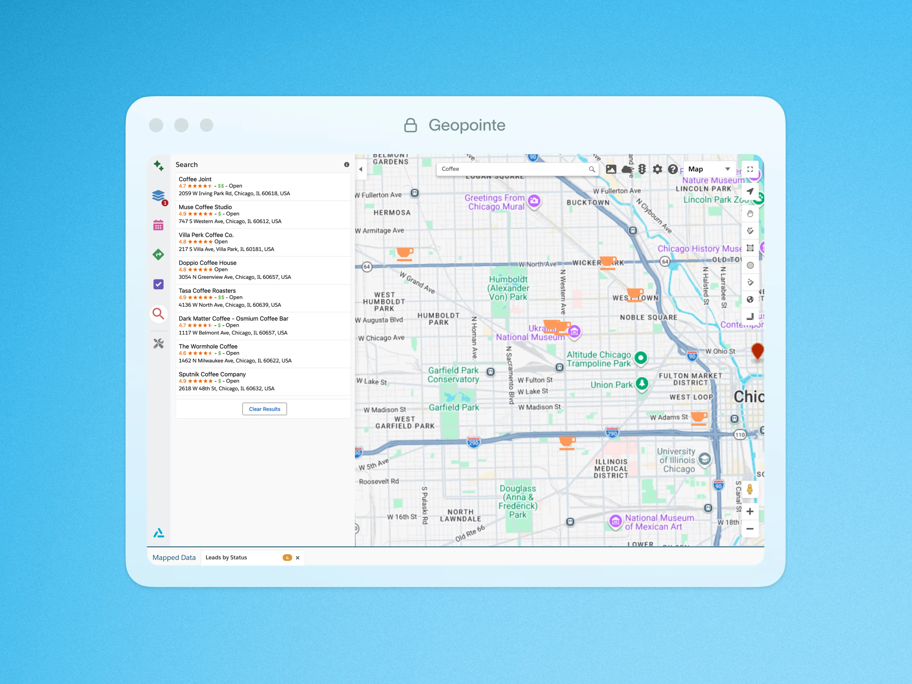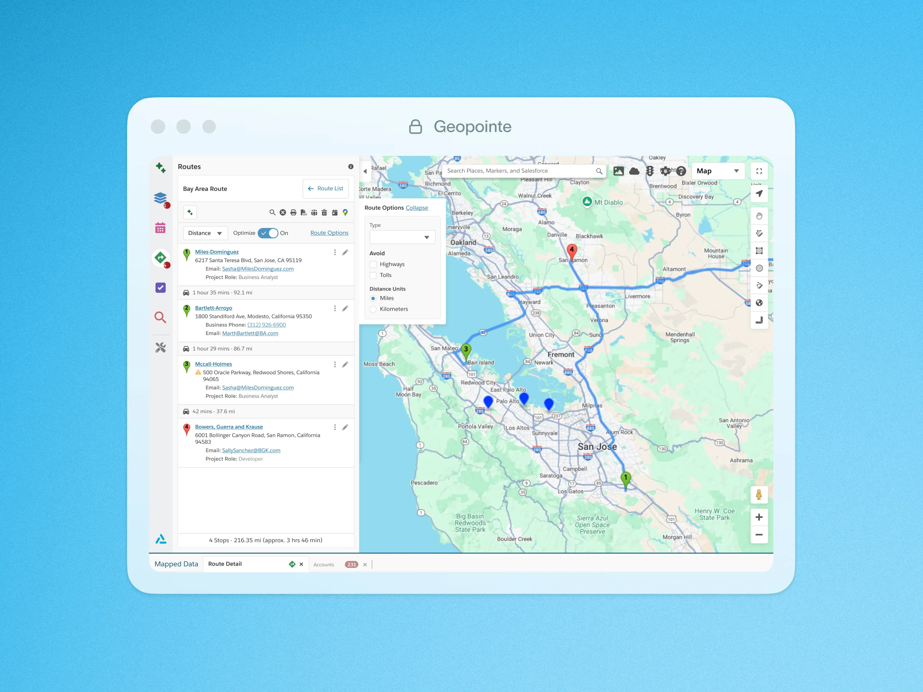








Drive field productivity and market coverage by turning location data into actionable intelligence—not just visualization.





Drive field productivity and market coverage by turning location data into actionable intelligence—not just visualization.
Reps spend too much time driving, coverage gaps go unnoticed, and field activity becomes harder to prioritize and measure at scale.

Reps build plans manually or rely on static maps, leading to unnecessary travel and fewer productive meetings each week.

Without geographic visibility, high-value accounts and whitespace opportunities are missed while effort clusters in familiar areas.

Field activity is logged in CRM, but without location context leaders struggle to connect movement, coverage, and outcomes.
Choose your role to see how Ascent Cloud supports your workflows with clearer visibility, tighter alignment, and tools that fit how your team actually runs sales.


See how Geopointe turns account data into smarter routes and prioritized visits, helping field teams cut drive time, increase coverage, and protect pipeline.





Site visits
Dobson Fiber increased on-site visits by 20% and freed reps from manual admin work daily.
Meeting attainment
Paycor’s field team hit weekly appointment goals 14% more often after deploying Geopointe.
ARR growth
SpotOn grew ARR by 25% by using coverage insights to target the right accounts and prioritize visits.
Trusted by modern enterprise sales teams












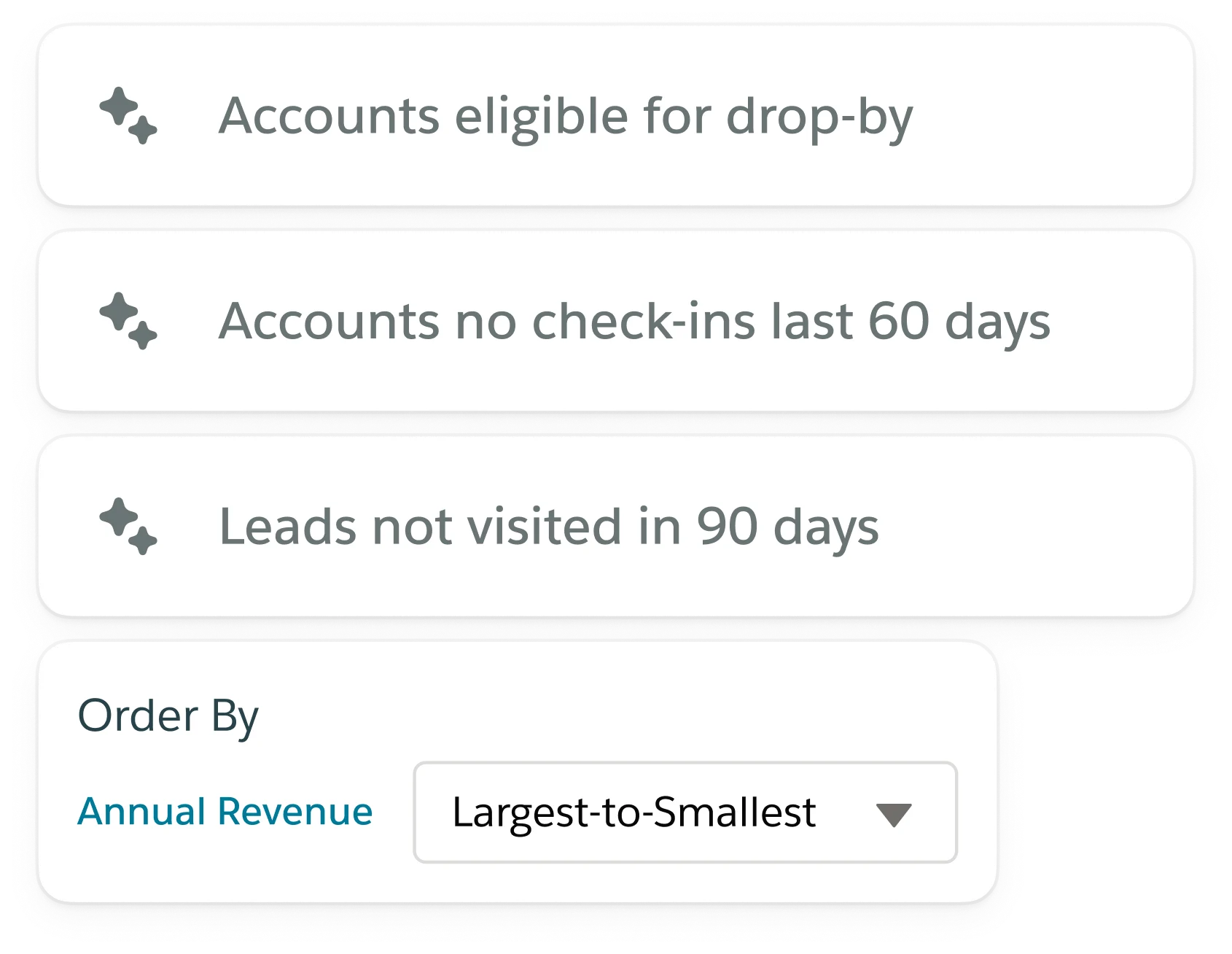
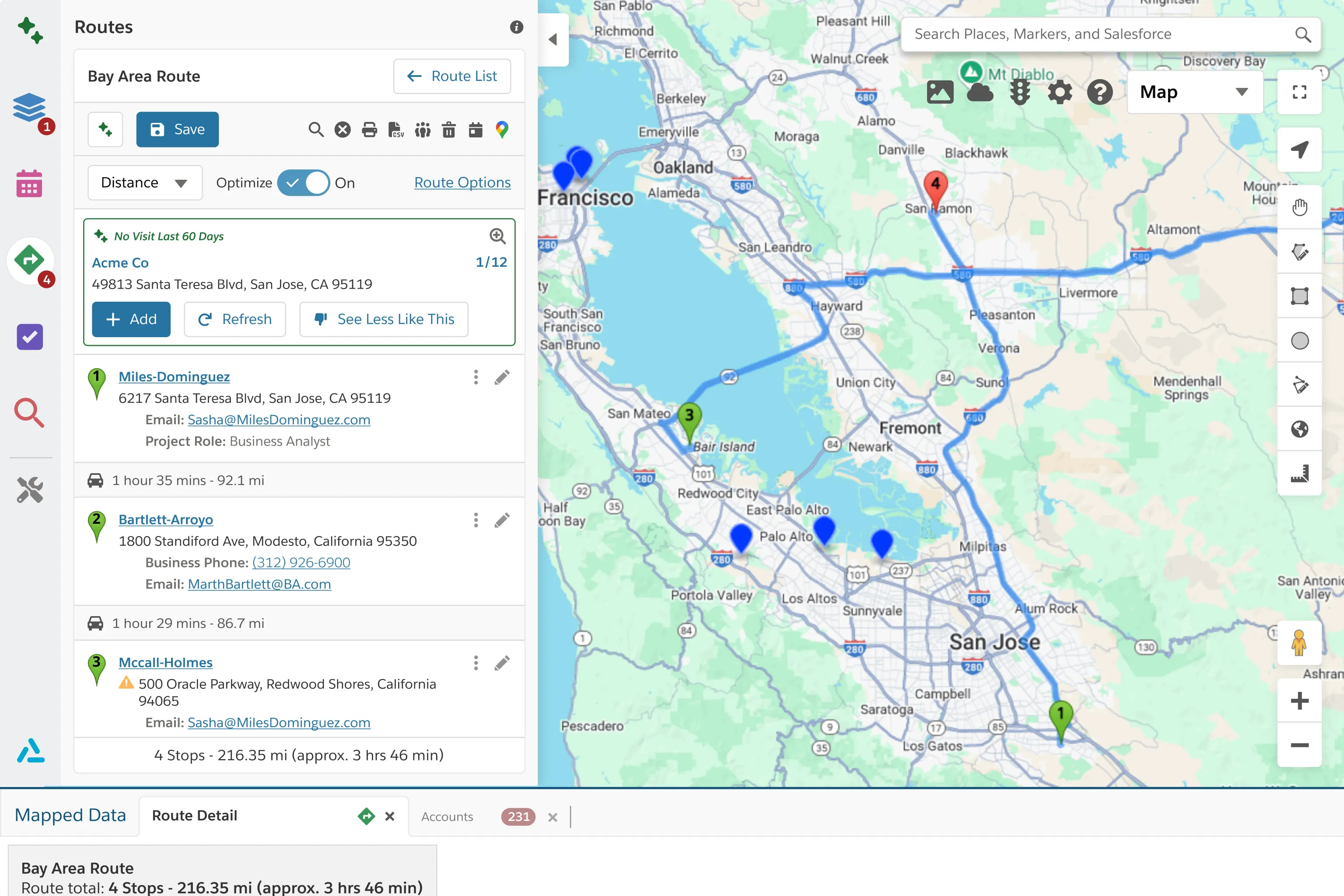
Insights builds on the activity already happening across Territory Planner, Geopointe, and LevelEleven, turning sales data into clear signals so teams can adjust faster and scale what works.


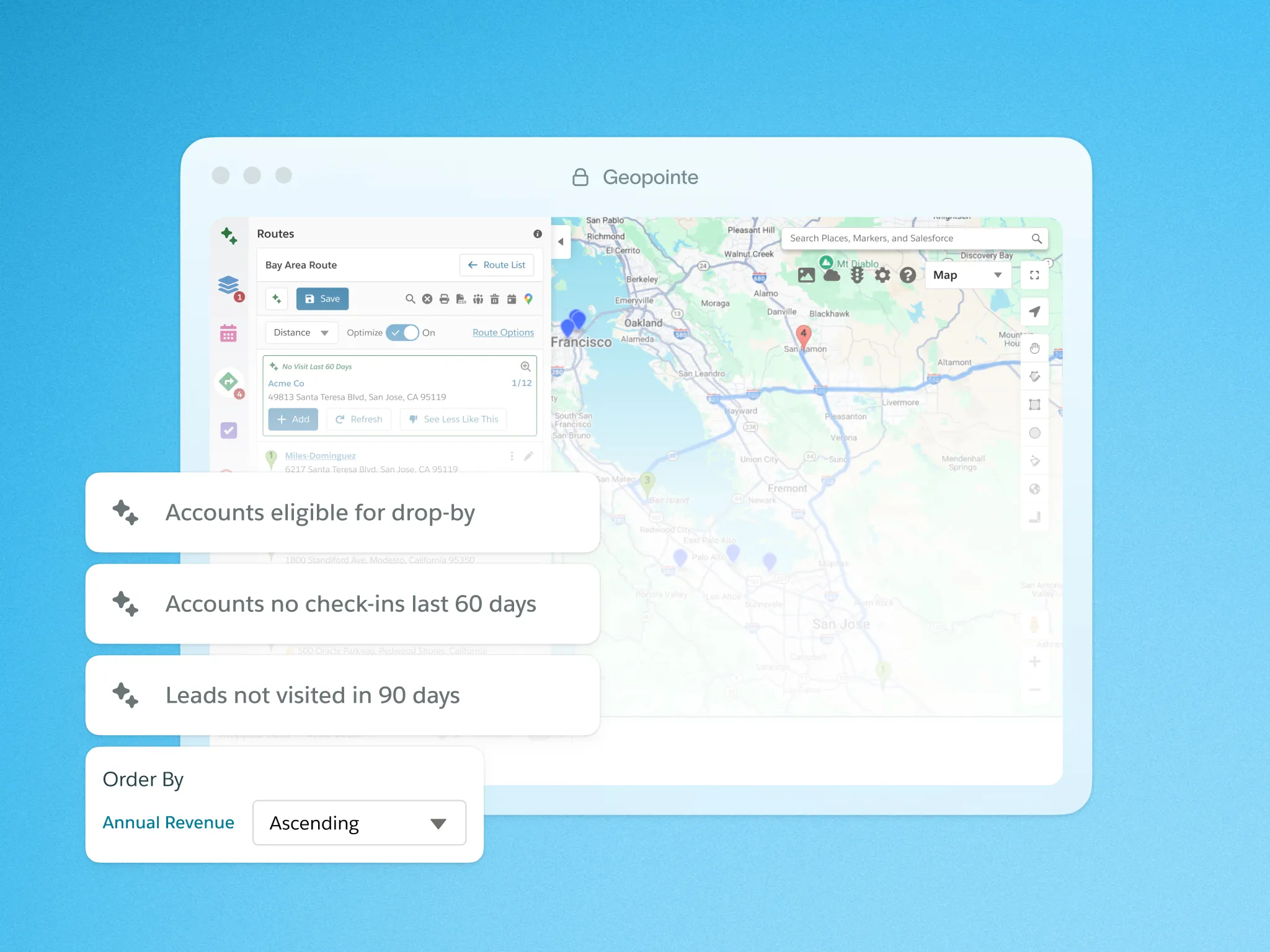
See why sales teams choose Ascent Cloud, roll out fast, and keep in their stack as they scale.
Explore features that help field teams prioritize accounts, optimize routes, and turn location data into daily execution.

Quickly and easily add your mapped records to a Campaign.

Perform radial searches, calculate distances, perform real-time geocoding with Geopointe’s API Apex Class.

Geopointe Assignment Plans enable you to create and manage territories with ease, identifying records that fall within specific geographic or criteria-based areas.
Automatically assign leads and accounts by rules so ownership stays accurate as territories and priorities change.

Plan schedules geographically so meetings flow logically and travel time stays under control.

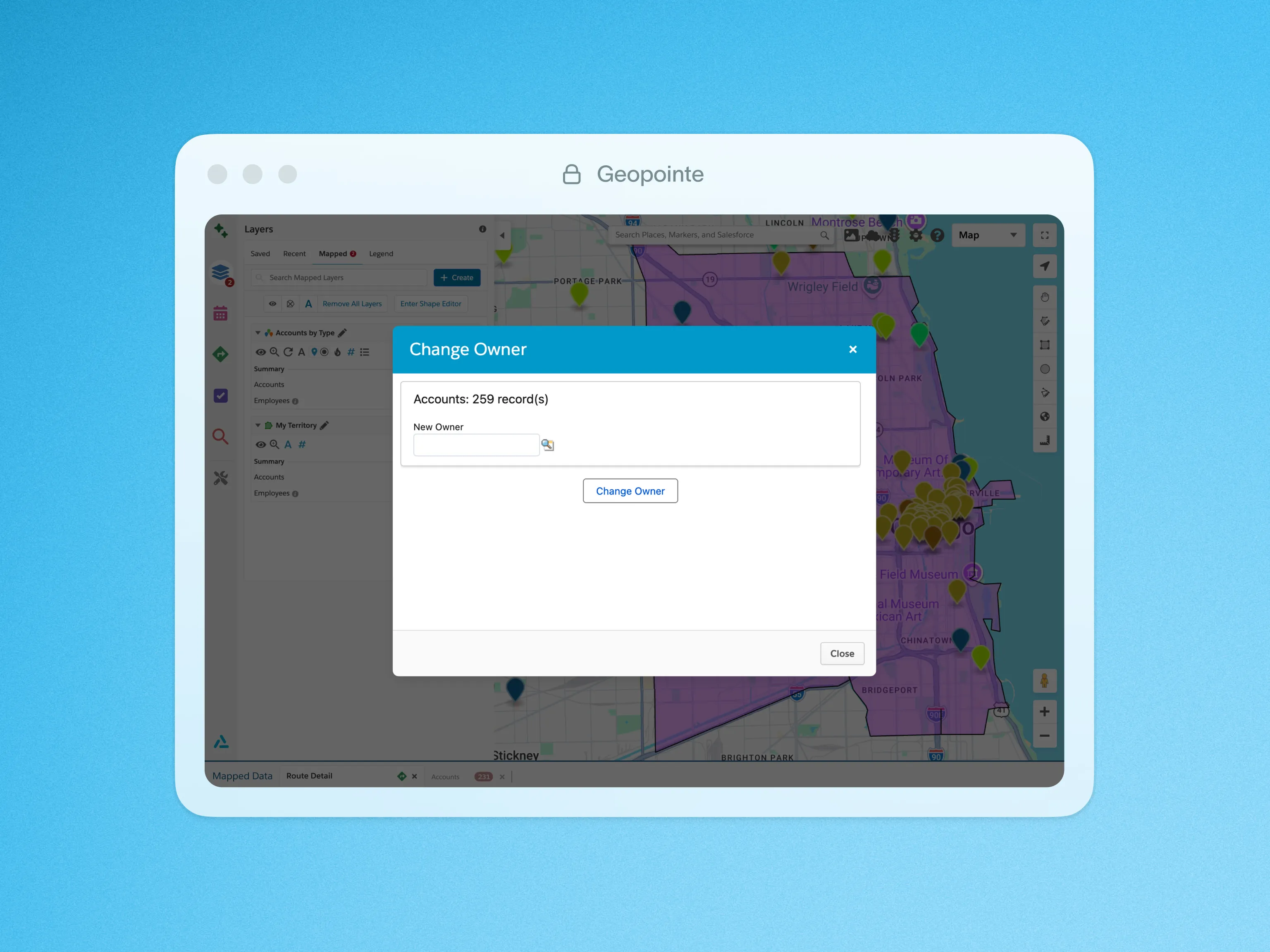
Quickly change the owner of one, some, or all of your mapped records with a few clicks.

Use interactive charts to analyze mapped data and spot trends without leaving the Geopointe interface.

Log stop check-ins on mobile to confirm location, capture visit notes, and keep activity accurate.

Add another dimension to your data by mapping records based on their relationship with other objects.

Create Salesforce records directly from the map using location data and nearby context.

Import CSV files directly to the Geopointe Map, without standard Salesforce import method.
Sort, filter, and update mapped records quickly so you can manage field activity without switching views.

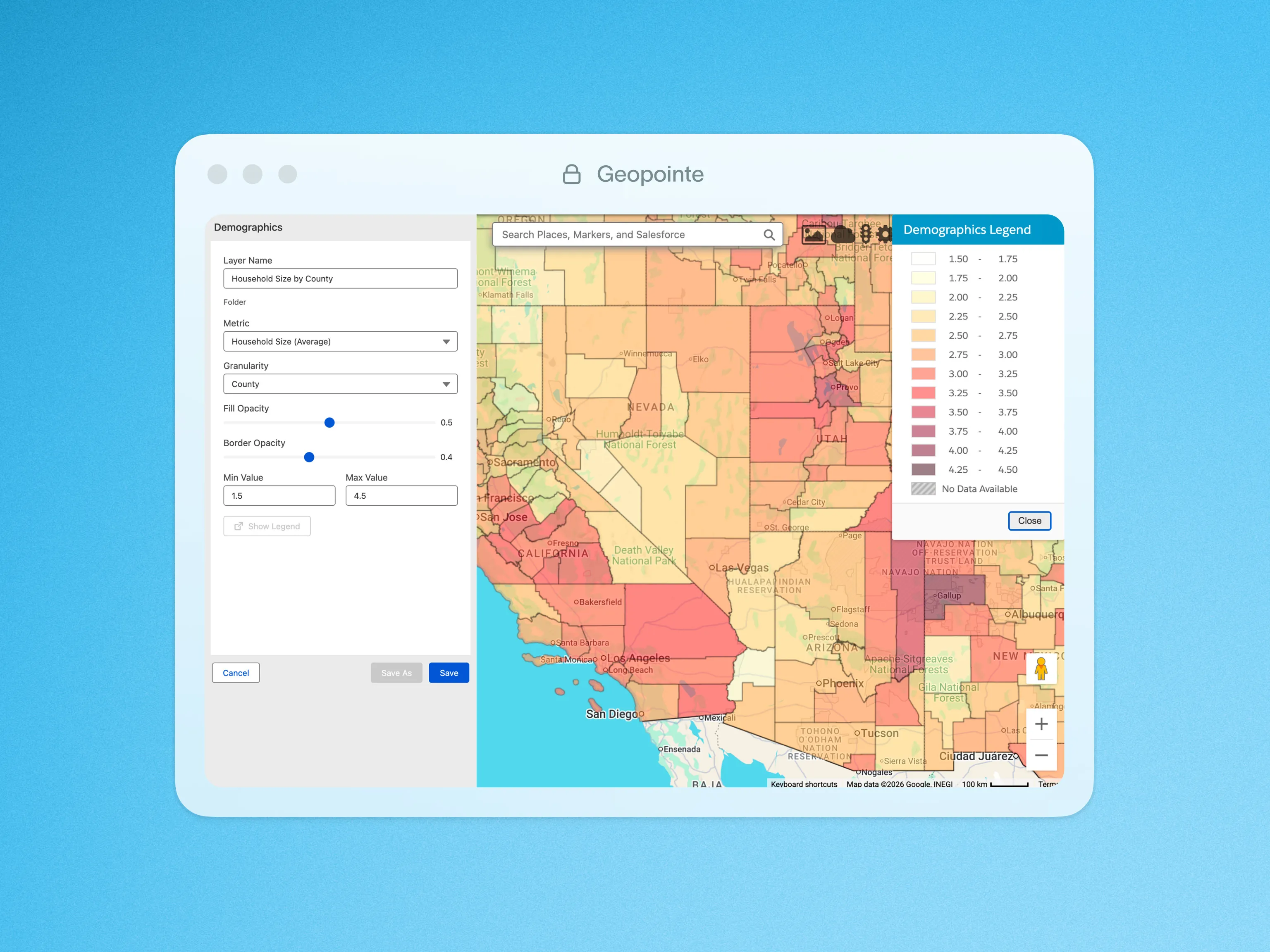
Using US Census data, gain a rich source of demographic data along with a deeper knowledge of a target market.

Export your mapped results to CSV or KML file types using built-in actions.

Automatically geocode Salesforce records with Google so every account is mapped accurately for routing and coverage.

Geopointe helps locate any Salesforce data, anywhere in the world.

Locate businesses and landmarks anywhere in the world with a quick search on the Geopointe map.

Create heat maps of numeric concentrations based on record count or any numeric field values.

Update Salesforce records directly on the map while honoring Salesforce permissions.

Add KML, KMZ, or GeoRSS layers to overlay external data directly on the Geopointe map.

Geopointe supports the Salesforce Lightning Experience with Lightning Components.

Organize accounts and prospects into working lists so planning visits and follow-ups stays simple.

Surface nearby opportunities automatically so you never miss high-value accounts in the field.

Customize map markers by color, shape, labels, or custom images to match your workflow.

Simply update a field to a specified value for mapped records at once.

Choose your preferred navigation app, or launch Uber or Lyft, so reps get to each stop faster.

Instantaneously get dynamic metrics for any Currency, Number, or Percentage fields in your data set searches.

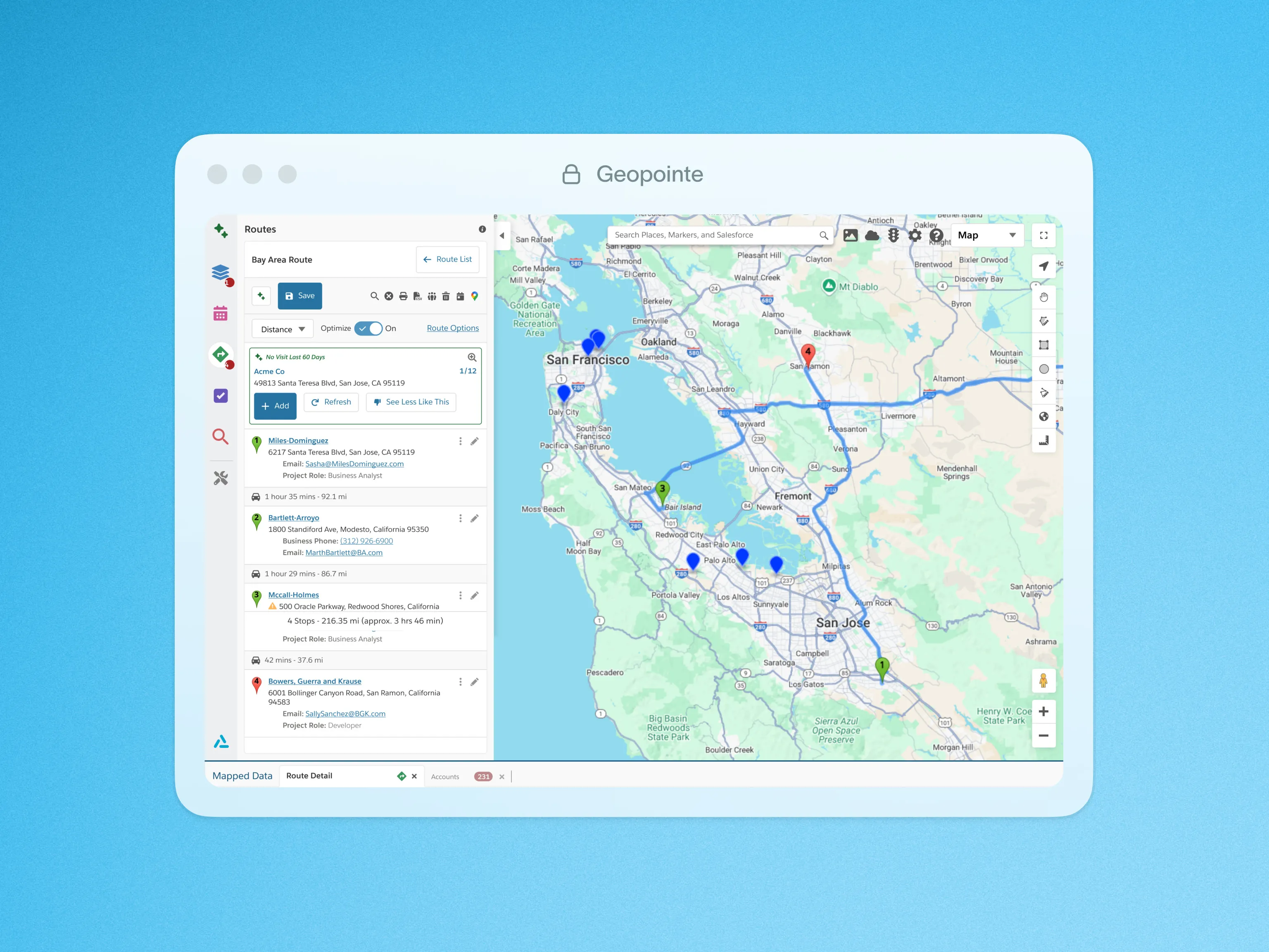
Get suggested stops based on location and data so every trip supports pipeline and coverage goals.

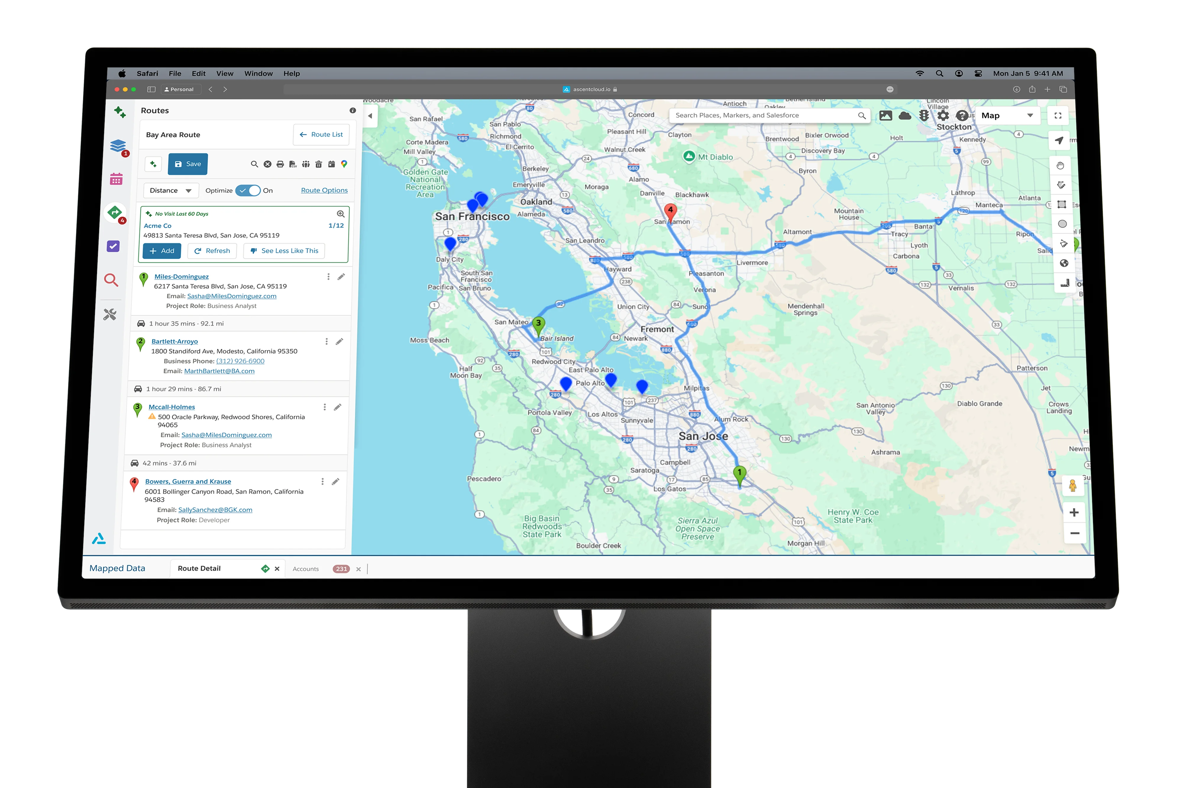
Build optimized routes automatically so you visit more accounts without increasing travel time.
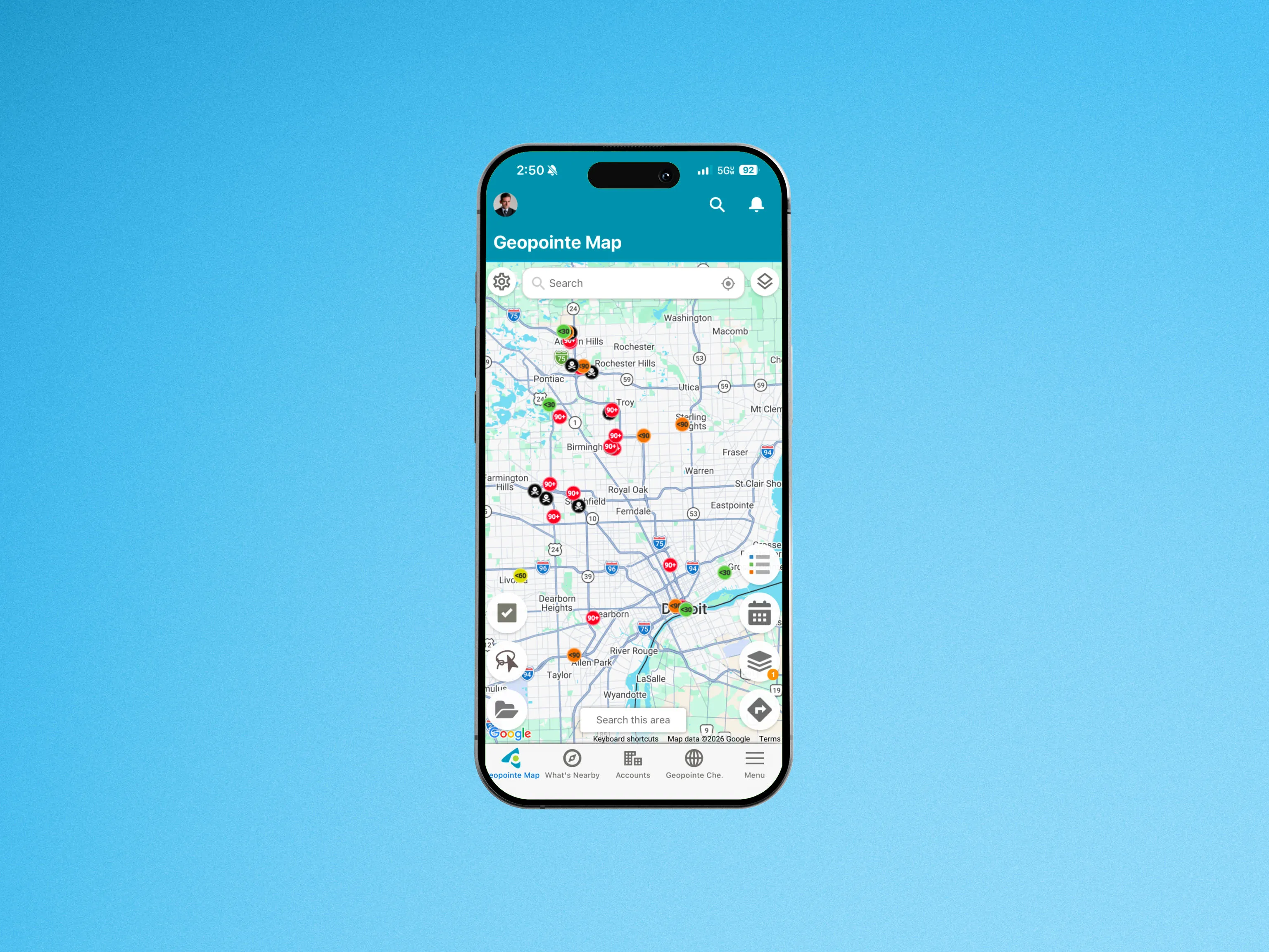
Access maps, routes, and account data on mobile so you can stay productive between visits.

Visually build territories using the Geopointe Shape Library, and use geographic insight to manage them.

Create accurate shapes from rich boundary data and reuse them across territories, routing, and field workflows.

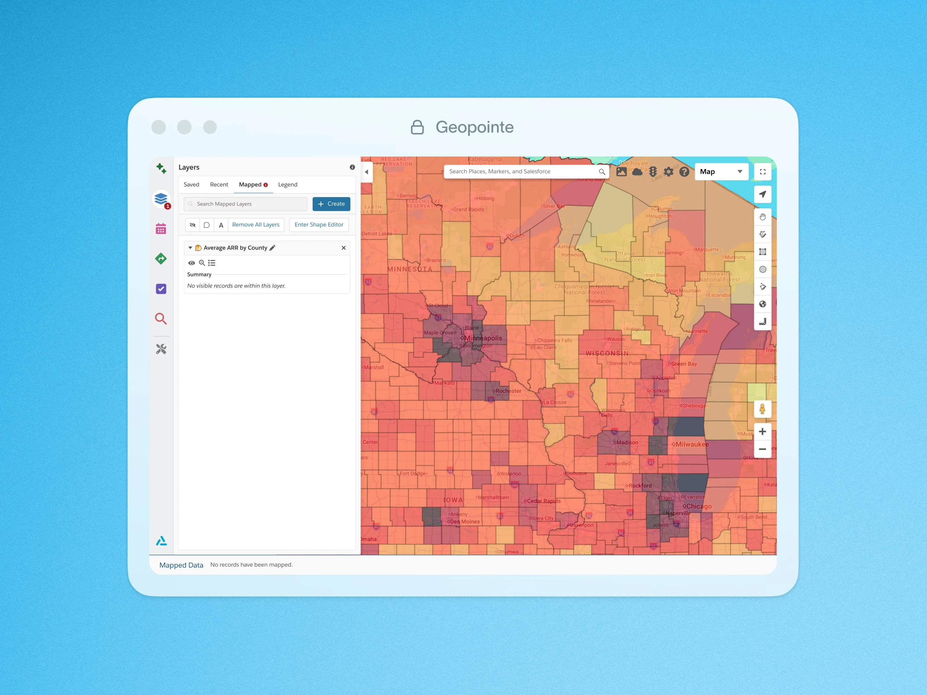
Roll up metrics by territory boundaries so you can spot trends and compare regions at a glance.

Trigger actions via URL parameters so workflows launch instantly when Geopointe loads.

Create shapes from predefined boundaries utilizing Geopointe’s powerful visual editor.
When Territory Planner, Geopointe, and LevelEleven work together, planning decisions flow directly into field execution, and performance data feeds back into smarter decisions.
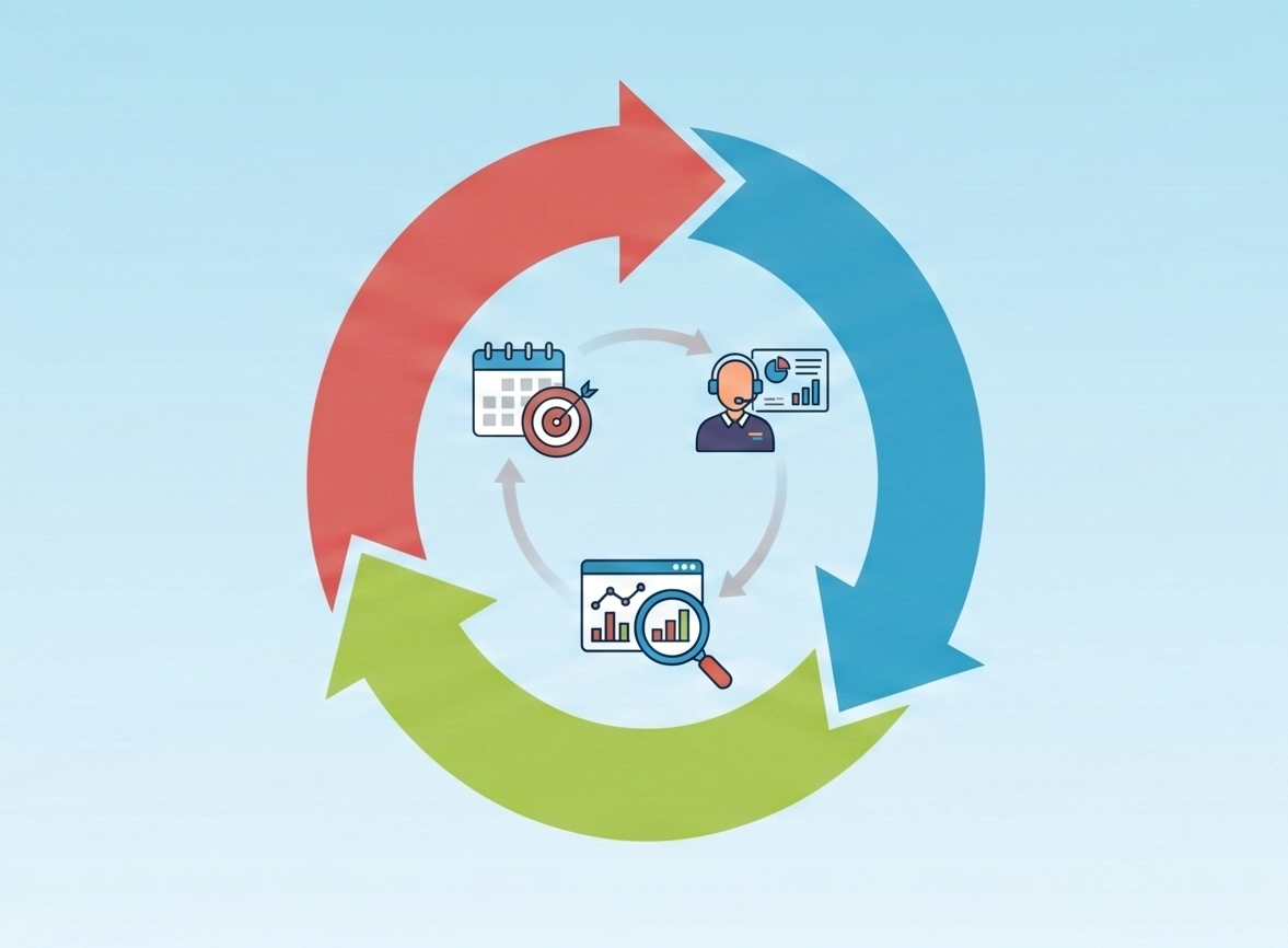
Plans impact the field, execution signals become coaching, and performance changes flow back into strategy

"Google Maps is the standard, so imagine our surprise when we found an app that works five times better for all things mapping. I struggle to imagine a way it could be any better."
Sync the data that powers planning, field execution, and performance management so teams stay aligned, without rebuilding your GTM stack.


Integrations are rolling out continually: some are live today, with more coming soon (varies by product).
Your most frequently asked questions, all in one place. If you don’t see what you need, book a call here.
Geopointe turns CRM account data into mapped territories, prioritized lists, and routes so reps spend more time in customer conversations and less time planning.


Yes. Geopointe is designed to use Salesforce as the system of record, so reps can view mapped accounts and execute without duplicating data across tools.
Geopointe helps teams target the right accounts, reduce dead time between visits, and standardize coverage across territories with consistent, repeatable field plans.
Reps typically map accounts, build visit plans and routes, and prioritize outreach by geography and account value, then capture activity back in Salesforce.
Yes. Teams commonly organize execution around territories, districts, branches, or service areas and then tailor routing and prioritization to that structure.
Territory Planner publishes assignments, and Geopointe helps reps run those assignments in the field through mapping, prioritization, and route planning.
Looking for something else? info@ascentcloud.io


.png)
.png)

.png)



We’ve received your message and a member of our team will be in touch shortly.
See customer results
Guides, insights & events