


How Thomas James Homes Uses Geopointe to Visualize Property Data and Plan Land Acquisitions

"If you want to visualize anything on a map, Geopointe is the right solution. It’s an easy way to visualize data without spending a lot of time or money."

Problem
Before adopting Geopointe, Thomas James Homes relied on static Google Map pins and spreadsheets to track and visualize property locations. While the company maintained address data for every property it built, it lacked an efficient way to view how those assets related to each other geographically. The team also needed a better way to group properties by division or territory based on specific neighborhoods, and to toggle between different levels of geographic detail such as street-level and division-level views. Without a dynamic mapping solution, analyzing historical performance, presenting geographic insights internally, and identifying future acquisition opportunities required significant manual effort.
Solution
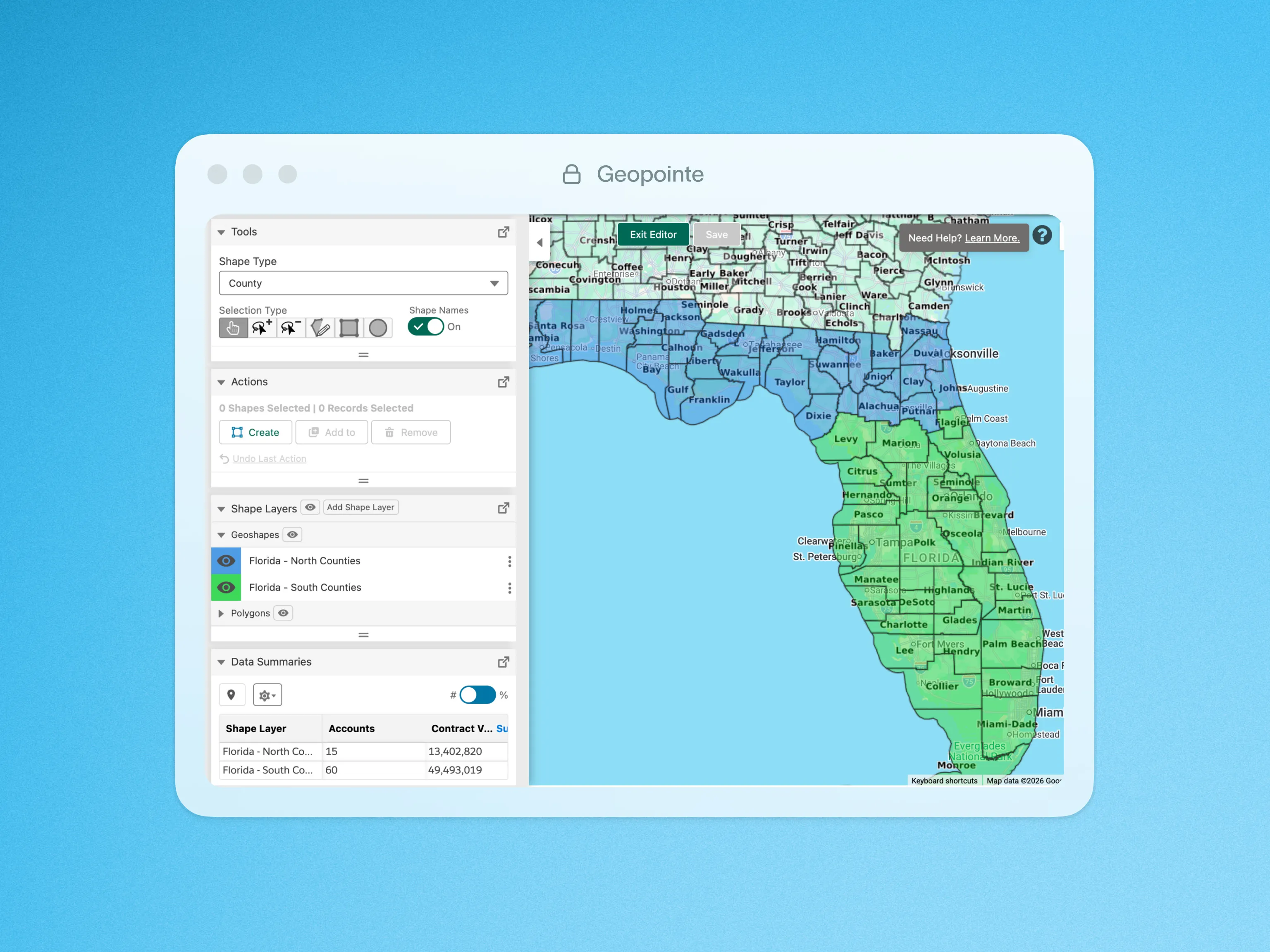
Thomas James Homes implemented Geopointe in 2016 to bring dynamic mapping and geographic visualization into its workflow. The platform allowed the team to group and layer property data based on neighborhoods and divisions, making it easier to visualize assets and toggle between different geographic views. Geopointe is now used across the organization to analyze historical property sales, monitor active projects, and evaluate potential acquisition opportunities. Teams can quickly load datasets, apply filters, and create shapes to understand concentrations of activity. Geopointe also supports internal reporting by allowing teams to export geographic visualizations and shape data for presentations with minimal administrative work.
Result
With Geopointe, Thomas James Homes gained a centralized way to visualize and analyze property data across its growing portfolio. The land acquisitions team can now review past sales activity to evaluate whether it makes sense to pursue additional projects in the same areas, while also analyzing comparable sales to guide future land purchases. Instant access to datasets, filters, and shapes has helped streamline workflows and reduce the time required to find critical information. The platform has also improved onboarding by allowing new hires to quickly understand where the company has previously operated and where it continues to build. By providing clear geographic visibility into both historical and current assets, Geopointe enables Thomas James Homes to plan future development with greater confidence.